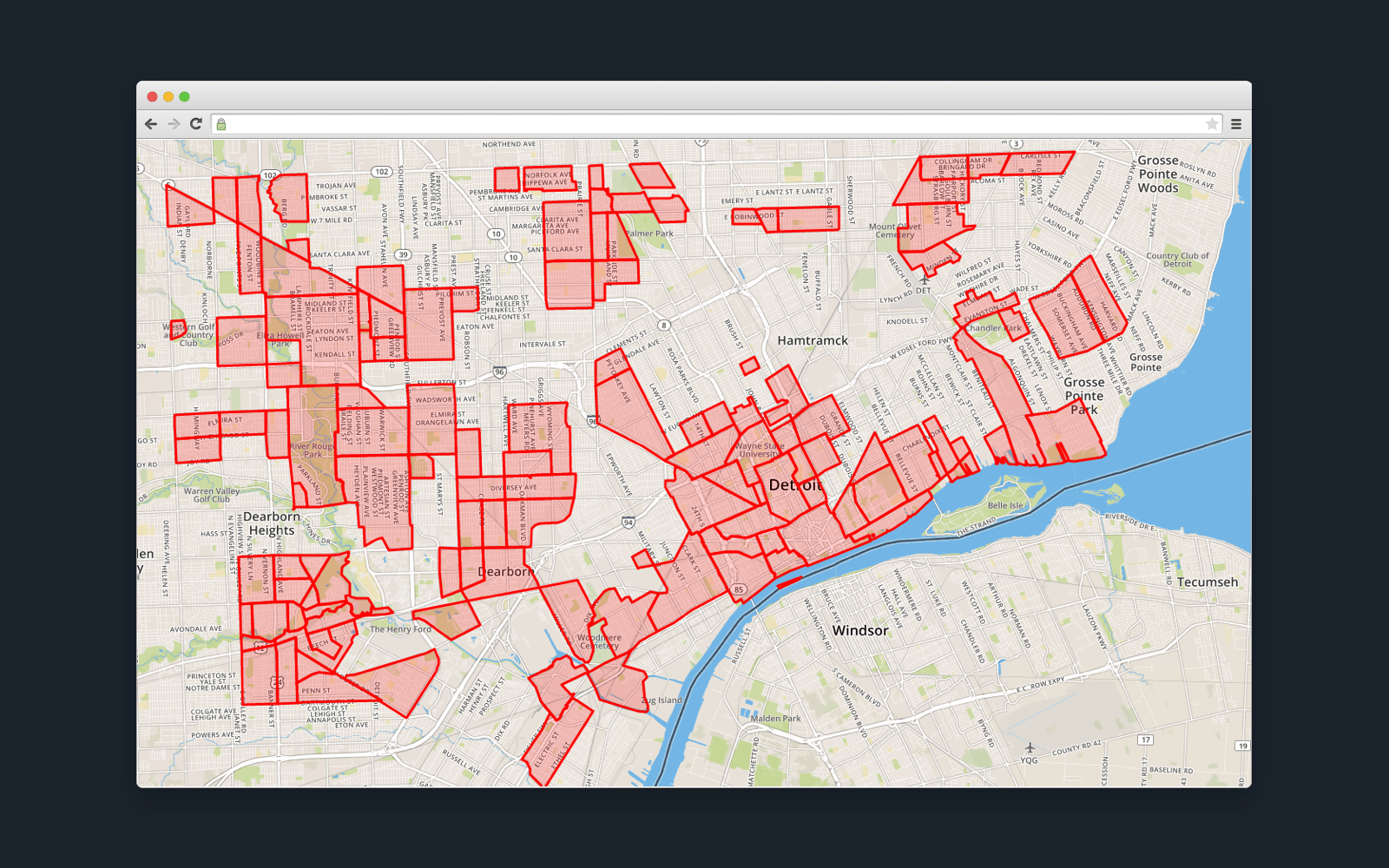
You're scrolling through Zillow late at night, eyes blurry from looking at Craftsman homes you can't quite afford yet, when you see it. A perfect backyard. But wait—does that fence actually sit on the neighbor’s grass? You toggle the view, squinting at the screen. This is where Zillow maps with property lines become the obsession of every prospective homebuyer and nosy neighbor in the country.
It feels like magic. You zoom in, and suddenly, these thin blue or black lines appear, carving up the earth into neat little rectangles of ownership. It gives you a sense of power. You think you know exactly where the kingdom ends and the wilderness begins.
But honestly? You should probably take a breath before you start planning that retaining wall or picking a fight with the guy next door about his overgrown oak tree.
Why Zillow Maps With Property Lines Are Addictive But Dangerous
Let’s be real. Zillow has changed how we look at real estate by making data that used to be locked in a dusty basement at City Hall available while you're sitting on your couch in your pajamas. When you look at Zillow maps with property lines, you are looking at a layer of data provided by third-party aggregators, often sourced from county tax assessor records.
It’s convenient. It’s fast. It is also, quite frequently, a little bit wrong.
I’ve seen cases where a Zillow property line cuts directly through the middle of a swimming pool. Does that mean the neighbor owns half the deep end? No. It means the GPS overlay is slightly offset from the satellite imagery. This happens because the "map" you see is actually several different layers of digital information stacked on top of each other like a messy sandwich. If one layer shifts by three feet, your property line suddenly looks like it’s stealing a chunk of the sidewalk.
The Mystery of the Parcel Map
Most of what you see on Zillow comes from "parcel maps." These are used by tax assessors to figure out who owes what in property taxes. They are not legal surveys. They weren't drawn by a guy with a transit and a tripod standing in your yard; they were digitized by a technician, sometimes years ago, using varying levels of accuracy.
When you see those lines, remember they are approximations. They are "sorta" right. For a casual browse, they're great. For a legal boundary dispute? They’re about as useful as a chocolate teapot.
The Tech Behind the Lines
How does Zillow actually get this stuff? They don't have a fleet of surveyors. Instead, they license data from companies like LightBox or ATTOM Data Solutions. These companies scrape public records from thousands of counties across the U.S.
Because every county keeps records differently—some are high-tech and digital, while others are still catching up—the quality of Zillow maps with property lines varies wildly depending on where you live. If you're looking at a new subdivision in Irvine, California, the lines might be crisp and perfect. If you’re looking at a 100-year-old farm in rural Vermont where the deed says the boundary is "the big rock shaped like a sleeping bear," Zillow is going to struggle.
The satellite images themselves, often provided by Google or Bing, have their own "orthorectification" issues. This is just a fancy way of saying that because the Earth is curved and the camera is flat, things get distorted. When you slap a flat parcel map on top of a distorted satellite photo, things don't always line up.
When the Lines Lie to You
I remember a specific instance where a buyer was convinced a property came with an extra half-acre because of how the lines looked on their phone. They got to the closing table only to realize the "extra" land was actually a utility easement owned by the city.
Zillow didn't show the easement. It just showed a big blue box.
This is the nuance people miss. A property line is a legal concept, not just a physical one. There are setbacks, encroachments, and "adverse possession" laws that Zillow’s interface simply isn't designed to communicate. If a neighbor has had their fence three feet onto your "Zillow line" for twenty years, in some states, that land might actually be theirs now. The blue line on your screen won't tell you that.
Common Discrepancies to Watch For:
- The "Shifting" Satellite: Sometimes the whole map seems to slide five feet to the left. If you see every house on the street has its lines shifted into the middle of the road, you know the overlay is misaligned.
- Waterfront Woes: Lines near lakes or rivers are notoriously inaccurate on Zillow. Water levels change; property lines usually don't.
- New Construction: If a large lot was recently subdivided into four smaller ones, Zillow might take months—or even a year—to update the map to show the new lines.
How to Get the Real Truth (Beyond the App)
If you’re serious about a house, or if you’re about to build a $20,000 fence, you need to move past the app. Zillow maps with property lines are a starting point, not the finish line.
First, check the County Surveyor or Tax Assessor website directly. Many counties now have their own Interactive GIS (Geographic Information System) maps. These are often more up-to-date than Zillow because they are the primary source. If there’s a discrepancy between the county’s GIS and Zillow, believe the county every single time.
Second, look for the "plat map." This is the actual drawing filed when the land was first divided. It shows the exact dimensions in feet and inches.
Finally, get a professional land survey. This is the only way to be 100% sure. A surveyor will find the iron pins buried in the ground or the concrete monuments that legally define your dirt. It costs money—usually between $500 and $1,500 for a standard residential lot—but it’s cheaper than a lawsuit.
Why Zillow Keeps These Lines Despite the Errors
You might wonder why Zillow includes these lines if they aren't perfect. It’s about the user experience. People love data. We crave the feeling of "knowing" what we're looking at. By providing Zillow maps with property lines, the platform keeps you on the site longer. It helps you visualize the "bones" of a property in a way a simple photo cannot.
It’s about context. Seeing that a house sits on a long, narrow lot versus a wide, shallow one changes how you perceive the value. Zillow is giving you a tool for comparison, not a legal document. As long as you treat it as a "general idea," it’s incredibly helpful.
Using the Mobile App vs. Desktop
Interestingly, the experience of viewing property lines can change depending on the device. On the desktop site, you often have more screen real estate to see the surrounding context. On the mobile app, the "Buy" or "Rent" filters can sometimes obscure the map controls.
To see the lines clearly on mobile:
- Zoom in deep on a specific property.
- Ensure you are in "Satellite" or "Lot Lines" view (if available in your region).
- Wait a second for the data to pop. Sometimes the lines take a moment to "fetch" from the server.
If you don't see them, it’s possible the county you're looking at hasn't digitized their records yet. There are still plenty of "black holes" in the U.S. where digital parcel data isn't available for public API consumption.
The Future of Property Mapping
We’re moving toward a world where augmented reality (AR) might let you hold up your phone and see the property lines projected onto the actual grass. Some startups are already playing with this using high-precision GPS. But until every property in America is re-surveyed with modern tech, we are still relying on old data translated into a new format.
Zillow is constantly refining its algorithms to "snap" parcel lines to visible features like fences or curbs, but this is an AI-driven guess. It’s getting better, but it’s still a guess.
Actionable Steps for Property Owners
Don't let a blue line on a screen dictate your real estate decisions. Use it as a guide, but verify everything.
- Verify with the Deed: Read the legal description of the property. It will describe the boundaries in words. If the deed says "100 feet north," and Zillow shows 80 feet, trust the deed.
- Look for Physical Markers: Go to the corners of the property. Look for small plastic caps, iron pipes, or wooden stakes. These are the physical manifestations of the legal lines.
- Check Local GIS: Search for "[Your County] GIS Map" on Google. Use their official tool for a more authoritative (though still not legally binding) view.
- Hire a Surveyor Before Building: Never, ever build a permanent structure based on a Zillow map. Ever.
- Talk to Neighbors: Sometimes the "agreed-upon" boundary between neighbors is different than what is on paper. Understanding these informal agreements can save you a lot of headache.
While Zillow maps with property lines offer a fascinating window into the world of land ownership, they are a piece of the puzzle, not the whole picture. Use them to dream, use them to browse, but when it’s time to sign on the dotted line or dig a hole, go get the real facts from a professional. The peace of mind is worth more than a free app can provide.
Locating the official plat at your county recorder's office is your next best move if the Zillow lines look "funky" or pass through a building. This document is the ultimate reference used by title companies and surveyors to resolve disputes. Once you have the plat in hand, you can walk the perimeter with a long tape measure to get a much more accurate sense of your actual footprint than any satellite overlay can offer.