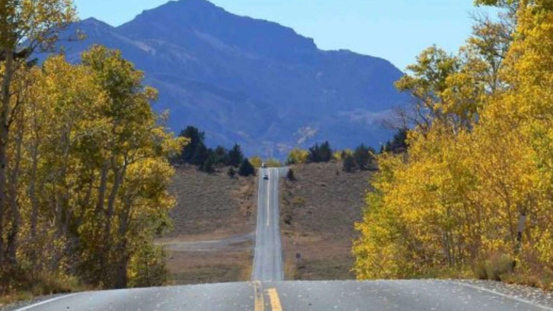
Gravity at Eight Thousand Feet
The engine strain changes pitch right after you cross the invisible line where the trees thin out.
Your chest feels slightly tight, not from panic, but from thin air. Below your left tire, a cliff falls away into a canyon so deep that the tops of two-hundred-foot Jeffrey pines look like moss. There are no guardrails here. There never have been.
This is Ebbetts Pass.
Stretching across State Route 4 in California’s High Sierra, it reaches an elevation of 8,730 feet. It is one of the narrowest, steepest, most demanding mountain passes in North America. For long stretches, the road shrinks to barely twenty feet wide without a painted center line, snaking through raw granite shelves carved out during the 1850s Gold Rush.
When winter descends on the High Sierra, nature tries to claw the road back.
Recent atmospheric rivers battered the state with relentless rain, ice, and record-breaking snowpacks. Millions of tons of snow freeze and thaw, wedging deep into hairline cracks in the asphalt. Granitic boulders the size of pickup trucks dislodge from cliffs, hurtling down onto the narrow ribbon of blacktop. Entire shoulders wash away into the ravine below.
To keep this historic corridor open, the California Department of Transportation allocated $36.4 million toward critical repairs and reconstruction.
That number sounds abstract on a spreadsheet. On the mountain, it looks like men and women dangling from ropes over sheer drop-offs, drilling steel anchor rods straight into living bedrock.
The Highway Built on a Silver Trail
To understand why California spends tens of millions repairing a mountain road that closes for half the year anyway, you have to look at what lies on either side of the summit.
In 1853, Major John Ebbetts guided a party of emigrants across these granite peaks, believing he had found a route suitable for a transcontinental railroad. The railroad never materialized here—the terrain was far too punishing—but by 1860, the discovery of massive silver deposits in Nevada turned the path into a bustling toll road. Mules, ox-drawn wagons, and desperate prospectors hauled freight over the lip of the mountains, battling snowdrifts that could swallow a wagon whole.
Today, the ox carts are gone, replaced by adventure motorcyclists, local residents, summer road-trippers, and forestry crews.
Yet the topography has not softened over the last century and a half.
Consider a hypothetical driver named Marcus, a utility technician based in Murphys who needs to service equipment in Markleeville on the eastern side of the crest. When Ebbetts Pass is open, his drive is a scenic, albeit nerve-wracking, hour and a half. When the pass is broken or buried, his route forces a two-and-a-half-hour detour through northern routes or southern valleys.
For the tiny mountain communities anchored to the flanks of the Sierra, Route 4 is not just a drive. It is a vital artery for tourism, emergency services, and mountain survival.
Anatomy of a Repair Job
Fixing a road at 8,000 feet is not a matter of dumping asphalt into a hole and smoothing it with a roller.
It is high-altitude civil engineering under extreme constraints.
Consider what happens next when torrential rains hit a 24-percent grade. Water flows downhill with terrifying velocity. If drainage systems fail, the water sweeps beneath the road foundation, liquefying the soil. The asphalt buckles, fractures, and finally slides into the canyon bottom.
The $36.4 million restoration project focuses on several critical fronts:
- Slope stabilization: Crews install heavy wire mesh and massive rock bolts to bind loose granite faces before they collapse onto passing vehicles.
- Retaining wall reconstruction: Massive timber and concrete crib walls, built decades ago to hold the outer lane above steep abysses, are being rebuilt from the foundation up.
- Culvert and drainage overhauls: Engineers are widening underground channels so future atmospheric rivers can pass harmlessly beneath the pavement rather than washing over it.
- Repaving and structural reinforcement: Deep structural asphalt lifts ensure the road surface can endure freeze-thaw cycles that break lesser pavements apart within a single season.
Working up here means working in a brief seasonal window. Crews cannot pour concrete or lay hot asphalt in sub-zero blizzards. They work double shifts from late spring until the first heavy autumn snowfall hits, racing against the inevitable return of winter.
Why the Cost Is Worth Every Cent
It is easy to look at a price tag exceeding thirty-six million dollars for a remote mountain route and ask whether the expenditure makes financial sense.
The answer lies in understanding infrastructure as a long-term pact between a state and its people.
If California abandons high passes like Ebbetts, mountain towns become isolated islands every time severe weather strikes. Tourism revenue collapses. Emergency response times double or triple. Firefighting crews lose fast access to remote forest fire zones during critical early hours.
Beyond the raw economics, there is an intangible element at work. Route 4 through Ebbetts Pass represents a direct link to California's rugged frontier past. Driving it is a reminder of human ingenuity wrestling against impossible geography.
When you navigate those tight, unstriped turns, smelling the hot pine needle dust baking in the mountain sun, you feel the sheer audacity of building a road here in the first place.
Repairing Ebbetts Pass is expensive because nature is relentless. Every dollar spent on these cliffs is a gamble against time, water, and ice.
The machines will eventually finish their work for the season. The warning signs will come down, the orange cones will vanish, and the thin asphalt ribbon will reopen to those brave enough to climb it.
Until the next winter arrives, the road holds.


