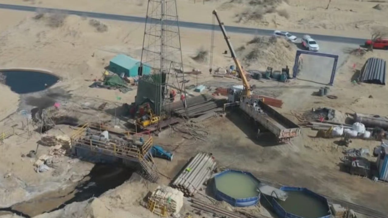
Geological exploration within the Tarim Basin of China's Xinjiang Uyghur Autonomous Region has confirmed the presence of substantial underground water reserves situated beneath the Taklamakan Desert. This discovery shifts the operational paradigm for regional desert containment infrastructure, specifically altering the resource calculus for large-scale environmental engineering initiatives such as the ongoing 3,050-kilometer ecological barrier belt. Deconstructing the hydrogeological mechanics of this arid depression reveals the structural interaction between mountain-fed runoff, ancient paleochannels, and closed basin accumulation.
The structural geology of the Tarim Basin dictates subsurface hydrology. Flanked by the Tian Shan mountain range to the north and the Kunlun Mountains to the south, the basin functions as an endorheic drainage system. Precipitation and glacial meltwater originating in these high-altitude ranges descend into the perimeter of the basin, where a significant fraction of surface runoff infiltrates alluvial fans and gravel beds before disappearing beneath aeolian sand dunes.
Historically, hydrogeological models assumed that subsurface fluids in the deep interior of the Taklamakan were hyper-saline, stagnant, and heavily mineralized due to prolonged evaporation cycles and high concentrations of dissolved carbon dioxide accumulated over millennia. However, recent exploratory drilling data—specifically along the southern edge of the desert near Minfeng County's Andir township and south of the Mazartag Mountains—indicate the presence of distinct, localized groundwater reserves housed within ancient river channels and sand layer strata.
The identification of these reserves requires a rigorous distinction between types of subsurface water resources in extreme arid zones:
- Deep Brines and Carbonated Aquifers: Formed through long-term meteoric water infiltration coupled with geochemical dissolution of alkaline soils and trapped carbon dioxide. These systems typically exhibit high total dissolved solids (TDS) and represent closed-loop storage that cannot be extracted without triggering degassing or environmental destabilization.
- Shallow and Peripherally Replenished Paleochannels: Associated with historical drainage networks that active during periods of different climatic regimes. These strata can contain brackish or lower-salinity water suitable for specific biological interventions under strict extraction thresholds.
The practical utility of these hidden water sources is bound by strict thermodynamic and economic constraints. Pumping water from deep desert aquifers introduces a high energy cost function. Furthermore, extracting water from closed basins risks lowering the local water table, which can destabilize the moisture equilibrium of the surrounding sand layers and accelerate soil salinization if management parameters are miscalculated.
To operationalize these findings, researchers have established specialized testing stations to evaluate the direct application of brackish water—saline water exceeding freshwater thresholds but less concentrated than marine water—for targeted irrigation. Rather than attempting broad agricultural conversion, the operational focus centers on sustaining drought-resistant vegetation and localized desert-stabilization flora planted along the periphery of the green barrier infrastructure. Integrating solar-powered pumping stations with drip irrigation systems optimizes the delivery ratio, minimizing evaporation loss in ambient temperatures characterized by extreme vapor pressure deficits.
The strategic imperative moving forward is the deployment of continuous down-hole monitoring networks to map recharge rates against extraction volumes. Without precise quantification of annual replenishment from glacial melt versus fossil water depletion, large-scale utilization risks transforming static subterranean reserves into exhausted, hypersaline sinks. Resource management in the Tarim Basin must treat these newly mapped aquifers not as an infinite reservoir, but as a finite, highly sensitive asset requiring strict hydraulic budgeting.
Large underground water reserves found in Xinjiang desert
This video provides an overview of the geographic context and scale of the groundwater exploration efforts underway in the Taklamakan Desert.