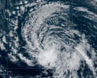
Atmospheric mechanics brook no sentimentality. When Tropical Storm Dolly degenerated into an open tropical wave over the central Atlantic, the transition represented a textbook case of thermodynamic exhaustion rather than a mere meteorological footnote. Stripped of a closed surface circulation by hostile vertical wind shear and entrainment of dry mid-level air, the system illustrates the precise operational thresholds that govern cyclonic persistence during the peak months of the hurricane season.
Understanding the collapse of Dolly requires examining the system through a structural lens. Cyclonic generation and maintenance depend on a delicate equilibrium between moisture convergence, Coriolis force, and thermal gradients. When external environmental parameters shift unfavorably, the internal feedback loop of a tropical storm breaks down with predictable mathematical efficiency.
The Thermodynamic Mechanics of System Degradation
A tropical storm functions as a heat engine operating on the temperature differential between the warm ocean surface and the cold upper troposphere. The longevity of this engine relies on sustained low-level moisture convergence and latent heat release. In the case of Dolly, two primary environmental vectors terminated this cycle.
First, vertical wind shear acted as a destructive mechanical force. Wind shear measures the change in wind speed and direction with height. When shear values exceed critical thresholds—typically above twenty knots in the main development region—it tilts the vortex axis, decoupling the low-level center from the upper-level outflow vent. Without an efficient exhaust mechanism, high pressure builds aloft, choking the convective chimney and starving the storm of its internal thermal engine.
Second, dry air entrainment undermined the buoyancy necessary for deep convection. As ambient mid-tropospheric moisture values plummeted around Dolly, downdrafts generated by evaporating precipitation cooled the boundary layer. This cooling stabilized the lower atmosphere, cutting off the inflow of high-entropy air required to sustain thunderstorm towers near the center. The loss of persistent thunderstorms directly caused the dissipation of the closed low-level wind circulation, forcing the National Hurricane Center to reclassify the cyclone as an open wave.
The Kinematic Shift from Vortex to Wave
The reclassification from a closed tropical storm to an open wave marks a fundamental change in fluid dynamics. A tropical storm possesses a defined vortex where closed contours of surface pressure allow winds to circulate around a single center. An open tropical wave, by contrast, resembles an elongated trough of low pressure embedded within the broader easterly trade wind flow.
In an open wave configuration, the wind field lacks the rotational symmetry needed to maintain centralized energy concentration. Consequently, the forward speed of the system—moving westward at approximately twenty-five miles per hour—dominates its kinematic profile. While the vortex structure is gone, the mass of moisture associated with the original disturbance remains intact, translating into distinct regional impacts as it encounters continental landmasses and island chains.
Regional Hydrological Risk Vectors
Although Dolly lost its official status as a named storm, the residual threat profile shifted rather than diminished. The forward motion of the open wave toward the Leeward Islands, Virgin Islands, Puerto Rico, and Hispaniola establishes a high-probability scenario for localized hydrological stress.
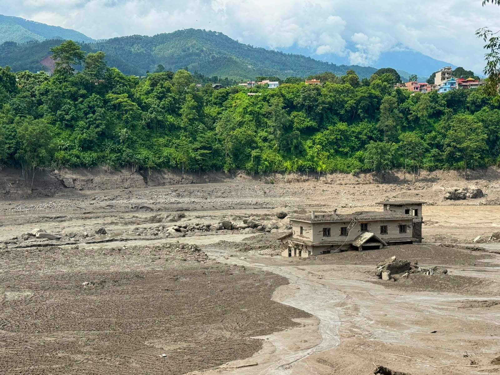
The primary vector of concern is topographical interaction. As moisture-laden air within the wave encounters the mountainous terrain of the Lesser Antilles and the Greater Antilles, forced mechanical lifting induces rapid adiabatic cooling and heavy precipitation. In regions with saturated soils or vulnerable watershed infrastructure, hourly rainfall rates can quickly exceed local absorption capacity.
- The Leeward Islands face the immediate impact phase, where flash-flood risks concentrate heavily along higher terrain.
- The Virgin Islands and Puerto Rico sit in the secondary progression corridor, experiencing sustained squalls and elevated urban drainage stress.
- Hispaniola remains exposed to cumulative precipitation totals capable of triggering rural mudslides due to steep deforested slopes.
The Macro-Climatic Context
The premature dissipation of Dolly cannot be analyzed in isolation. It occurs within a broader macro-climatic framework characterized by competing seasonal signals. While the calendar indicates the climatological peak of the Atlantic hurricane season, large-scale inhibitory factors continue to suppress sustained cyclogenesis across specific sectors of the basin.
Forecasting models frequently simulate potential regeneration scenarios when remnants encounter warmer oceanic pools north of the Greater Antilles. However, operational experience dictates skepticism toward long-range reformation models when environmental hostility remains high. The persistence of dry air intrusions and recurring shear vectors establishes a high barrier against secondary cyclogenesis.
Monitor surface pressure tendencies across the eastern Caribbean rather than relying on binary storm labels. The transition from a named storm to an open wave changes the operational response from wind-damage mitigation to localized flash-flood preparation, requiring immediate focus on high-resolution precipitation tracking and watershed monitoring.