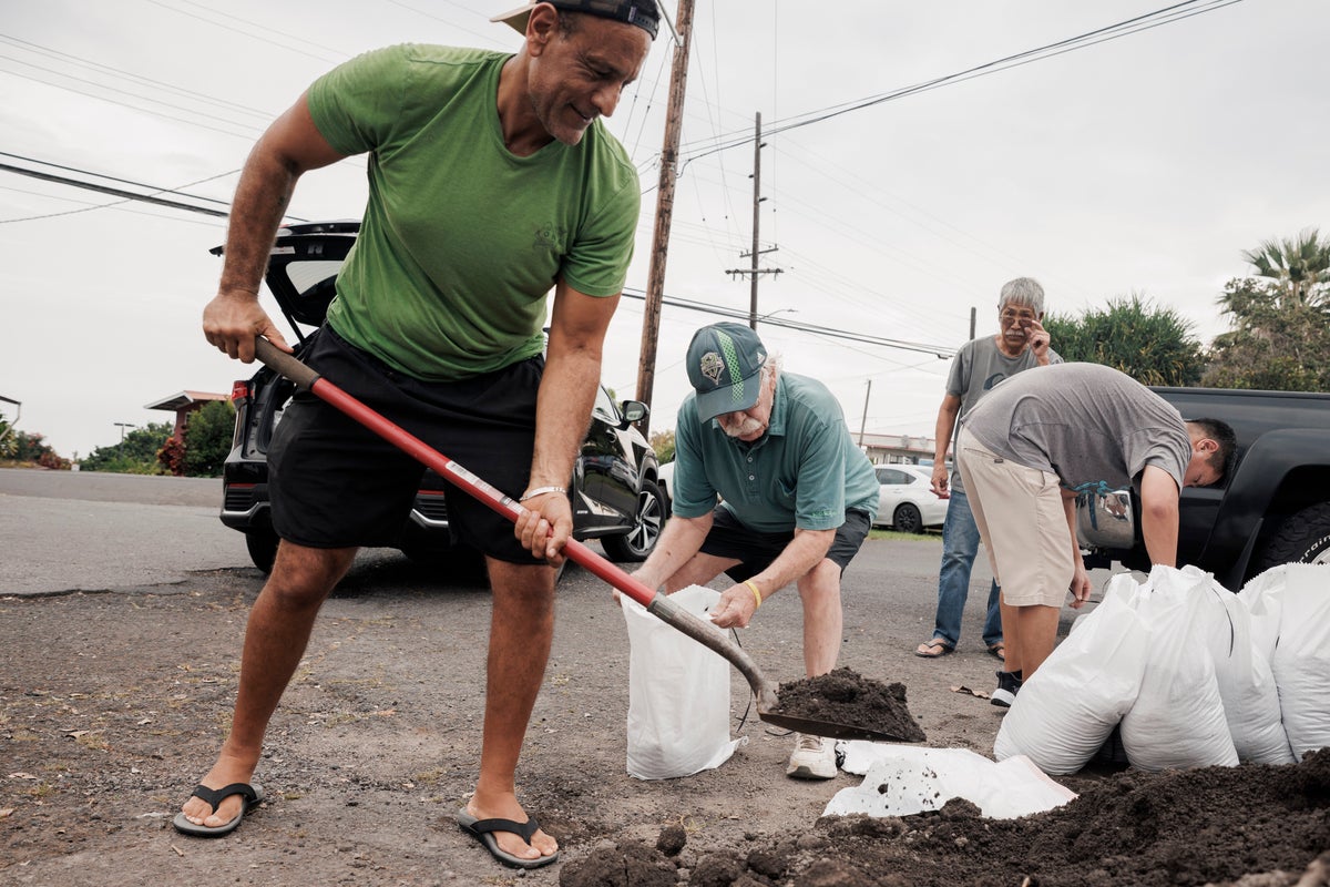
Every time a tropical depression wobbles over warm Pacific waters, the media machinery kicks into overdrive. Newsrooms dust off their emergency graphics, anchors clutch their microphones with theatrical dread, and tourists scramble to cancel itineraries over a weather forecast that reads like a disaster movie script. The lazy consensus is always the same: Hawaii is uniquely fragile, completely exposed, and one storm away from catastrophic erasure.
It is time to stop buying the panic.
I have spent decades watching meteorology turn into theater. I have seen millions of tourism dollars vaporize because a computerized model flashed red for forty-eight hours, only for the system to break apart harmlessly against the steep, brutal volcanic topography of the islands. We treat every incoming swirl like an existential crisis while ignoring the actual mechanics of how these islands interact with the atmosphere.
The Geography of Resilience
Let us look at the fundamental physics that the breathless weather reports conveniently omit. Hawaii is not a flat barrier island or a low-lying coral atoll sitting defenseless in the ocean. It is an archipelago of jagged, high-altitude volcanic peaks piercing thousands of feet into the sky.
When a storm like Hurricane Lala approaches, people imagine an unobstructed bulldozer slamming into paradise. Reality is far more violent for the storm itself. The islands possess massive orographic barriers. High terrain acts as a mechanical shredder for tropical cyclones. Wind shear generated by steep elevation changes, combined with entrainment of dry mid-level air, routinely tears these systems apart long before they achieve the catastrophic wind speeds promised by evening broadcasts.
Yet, the headlines scream about an enormous storm strengthening, playing directly into the worst fears of travelers and unprepared residents alike.
"Tropical cyclones do not respect human anxiety. They respect thermodynamics, moisture gradients, and sheer friction against landmasses that dwarf their circulation centers."
💡 You might also like: The Hormuz Gamble and the Price of India's Neutrality
Most commentators treat every storm as if it possesses uniform intensity across its entire life cycle. That is amateur hour. Intensity estimates rely heavily on satellite pattern recognition, known as the Dvorak technique, which frequently overstates the destructive capacity of compact systems navigating hostile wind shear environments.
The Cost of Overreaction
Panic has an economic toll that dwarfs wind damage. When headlines warn of an apocalyptic storm bearing down on Honolulu or Maui, flights empty out, hotels process waves of cancellations, and local businesses dependent on steady foot traffic take a brutal financial hit.
I have watched local restaurants and tour operators lose an entire week of revenue because a storm warning triggered a mass evacuation mindset for a system that ultimately downgraded to a mild rain shower by Tuesday morning.
Imagine a scenario where emergency management agencies and media outlets report weather threats with clinical detachment instead of cinematic flair. Tourism wouldn't plummet over a phantom threat. Small businesses wouldn't bleed thousands of dollars in unrecoverable refunds. People would learn to distinguish between a genuine Category 4 landfall risk and a decaying tropical storm bringing standard seasonal precipitation.
The truth is that Hawaii experiences heavy rain and stiff breezes regularly. That is a tropical ecosystem doing what tropical ecosystems do. Water feeds the valleys, replenishes the aquifers, and maintains the lush ecosystems travelers fly thousands of miles to see. Demonizing every drop of moisture and every uptick in sustained wind velocity is self-defeating.
Decoding the Threat
To understand what actually happens when a system approaches, we need to separate wind hazard from water hazard.
- Wind Risk: Overrated for most modern concrete and reinforced structures. Hawaii building codes are notoriously strict, forged in the aftermath of past storms like Hurricane Iniki.
- Surge Risk: Highly localized. Unless you are sitting directly on a vulnerable low-lying coastal shelf facing the specific quadrant of maximum wind approach, storm surge is heavily mitigated by natural reefs and bathymetry.
- Rainfall Risk: The real hazard. Steep mountain valleys focus moisture, leading to flash flooding. This is where attention should actually go—not on wind speeds that make for great television graphics.
Notice how the mainstream narrative reverses this priority. They lead with wind speeds because wind speeds sound terrifying. They bury the flash flood warnings in the third paragraph, even though rising water in a narrow valley is what actually threatens lives and property.
The Uncomfortable Downside
My stance is not without risk. Downplaying storm hysteria can lead to complacency if a true outlier event—a rare, perfectly aligned worst-case scenario—actually makes landfall. If you tell people to calm down, a subset of the population will ignore legitimate warnings to secure loose outdoor items or clear drainage ditches.
That is the trade-off. You can either keep the populace in a perpetual state of high anxiety, ruining local commerce every time a cloud forms off the coast, or you can cultivate adult literacy in meteorology and accept that people need to take personal responsibility for managing risk.
I prefer adult literacy.
Stop treating weather as a moral failing or an impending apocalypse. Check the actual data, look at the steering currents, understand the topography of the island you are on, and stop letting headline writers dictate your travel plans or your peace of mind.
The storm will pass. The mountains will tear it apart. The sun will come out. It always does.