Malaysia is supposed to be geologically quiet. Borneo is shielded from the violent fury of the Pacific Ring of Fire. Or so the official narrative goes. Yet beneath the jungle canopy of Sabah, micro-seismic activity is ticking upward. Small quakes rattle Ranau and the slopes of Mount Kinabalu with unsettling frequency. These minor tremors are not random anomalies. They are pressure valves releasing immense tectonic stress from a converging continental crush. If seismologists and urban planners continue to dismiss them as background noise, the state is sleepwalking toward a catastrophic reckoning.
The Myth of Aseismic Stability
For decades, public consciousness across peninsular Malaysia and eastern states treated earthquakes as distant tragedies happening elsewhere in Sumatra or the Philippines. Sabah was viewed as an outlier, but a manageable one. This psychological comfort blanket is dangerous. Geologically, Borneo occupies a complex, highly stressed intersection of regional plate boundaries.
The state sits within a brutal tectonic vice. To the east, the fast-moving Philippine-Pacific plate grinds westward at roughly ten centimeters per year. To the west and south, the southeast-moving Eurasian plate and the northward-pushing Indo-Australian plate exert relentless pressure. Sabah absorbs the shockwaves of this planetary collision. Energy transfers across weakening fault zones, storing elastic strain in the earth's crust until rocks snap.
When small earthquakes strike repeatedly in the same corridors, they indicate that regional stress fields are actively deforming the crust. They are warning shots. History shows that ignoring them invites disaster.
Tectonic Mechanics at Play
To understand why these minor shocks matter, you have to look at the plumbing of the earth beneath Sabah. The region is laced with active fault systems. The Crocker Fault Zone runs longitudinally down the western spine. The Mensaban Fault cuts directly through the Kundasang and Ranau districts.
These are not dormant scars from ancient history. They are active crustal fractures accommodating ongoing deformation. GPS measurements confirm that crustal blocks in western Sabah are shifting under intense compressive and extensional regimes. As blocks of ultrabasic and sedimentary rock grind past one another, friction locks them in place. Stress builds silently over years or decades. When the frictional threshold is finally breached, energy releases instantaneously.
Micro-quakes occur when smaller segments of these fault networks fracture or adjust to shifting load distributions. Each small tremor alters the stress state on adjacent, unruptured fault patches. A cluster of minor events can signify that a larger fault segment is being loaded closer to its breaking point.
Anatomy of a Forgotten Catastrophe
Complacency in Sabah evaporated abruptly on the morning of June 5, 2015. A magnitude 6.0 earthquake struck near Ranau, shaking the foundations of the state. Thirty seconds of violent ground motion shattered buildings, ruptured water pipes, and triggered massive, deadly landslides on the granite slopes of Mount Kinabalu. Eighteen climbers and guides lost their lives.
The 2015 event shattered the illusion that Borneo was immune to major inland seismicity. Yet, institutional memory is notoriously short. In the years following the disaster, reconstruction efforts focused heavily on immediate repairs rather than systemic long-term structural overhauls.
Seismological data collected in the aftermath revealed a troubling reality. The seismic record for onshore Sabah is remarkably short, spanning only a few decades of modern instrumental monitoring. Scientists are flying blind in many areas. Without centuries of baseline historical data, calculating precise recurrence intervals for major earthquakes remains an exercise in educated guessing. When the baseline is incomplete, hazard maps underestimate the true threat.
The Danger Beneath the Concrete
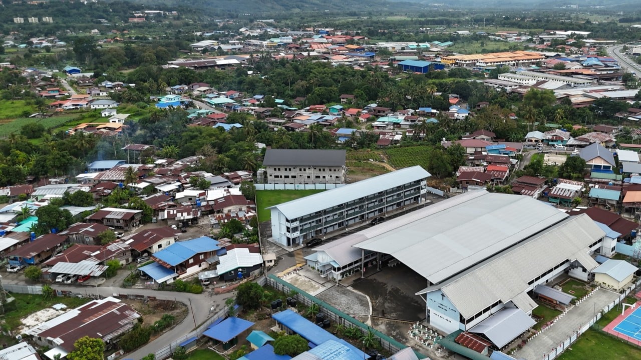
Rapid economic development across Sabah has outpaced geological risk assessment. Towns like Ranau, Kundasang, and even the capital city of Kota Kinabalu have expanded into areas characterized by vulnerable soil profiles and steep topography.
Much of the construction in these interior districts consists of non-seismically designed buildings. Low-rise concrete frame structures, shophouses, and residential homes frequently lack steel reinforcement capable of handling lateral shear forces. When an earthquake hits, poorly consolidated sedimentary basins amplify seismic waves through a phenomenon known as site response. Soft soils trap and magnify shaking energy, turning moderate Richter-scale events into localized surface destruction.
Infrastructure vulnerability extends beyond housing. Water treatment plants, primary access roads, and electrical grids traverse unstable mountain terrain prone to slope failure. A moderate quake does not need to flatten a skyscraper to paralyze a region. A single major landslide cutting off the main highway to Ranau strands communities, halts emergency response, and severs economic lifelines.
Blind Spots in Hazard Mapping
Traditional seismic hazard assessments in Malaysia have historically relied on regional sources, factoring in massive subduction megathrust earthquakes originating off the coasts of the Philippines and Indonesia. These distant events generate long-period rolling motions that are barely felt by most residents.
Local shallow earthquakes are an entirely different beast. Because the hypocenters of quakes in Ranau are shallow—often less than ten kilometers deep—the energy is released right beneath the feet of local populations. This near-field effect produces high-frequency, sharp vertical and horizontal accelerations that catch structures off guard.
Current probabilistic hazard models are struggling to catch up. Researchers attempting to map spectral ground motion in Sabah face a severe shortage of continuous strong-motion seismographs. Without dense instrumentation networks deployed directly across active fault traces, detecting subtle precursory movements or mapping localized micro-seismicity remains exceptionally difficult.
The Cost of Complacency
Earthquakes do not kill people directly; poorly engineered environments do. Every small tremor rattling the windowpanes in Ranau is a diagnostic test of the state's structural readiness.
Policy makers often hesitate to enforce stringent seismic building codes because of the immediate financial costs imposed on developers and homeowners. Retrofitting older public schools, hospitals, and commercial blocks requires massive capital outlays. Yet, deferring these investments trades short-term savings for catastrophic long-term exposure.
Seismic risk reduction requires uncomfortable choices. Building codes must be rewritten and rigorously enforced across all interior districts. Microzonation mapping must dictate where high-density residential and commercial projects are permitted. Public education programs cannot wait until the next major shockwave hits the news cycle.
The earth beneath Sabah is speaking in the only language it knows. Ignoring the message guarantees that the next chapter will not be written in minor tremors, but in rubble.