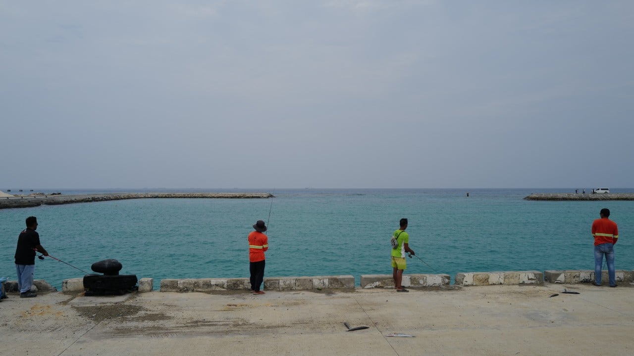
Salt air clings to the rusted tin roofs of Thitu Island, a speck of green and white sand anchored 270 nautical miles west of Palawan. To the families who call this place Pag-asa—Tagalog for hope—the horizon is a daily negotiation with vastness. Larry Hugo, a local fisherfolk leader, looks out past the crashing surf where white-hulled foreign militia vessels routinely loom like silent mountains.
"We will not leave," he says, his voice steady against the wind. "As long as we are here, it is ours." You might also find this related story insightful: Thirty Thousand Feet Into the Dark When the Cabin Door Becomes a Battlefield.
Yet sovereignty in the modern South China Sea is written in more than blood and bravado. It is etched with ink, hydrographic soundings, and precise coordinates.
Consider what happened when Manila quietly rolled out an updated nautical chart for Thitu Island, alongside neighboring features in the Kalayaan Island Group. To an outsider, a maritime map looks like an unexciting grid of blue lines and depth numbers. But in a region where rival claims overlap like spilled oil, lines on paper are weapons of law. The charts, produced by the National Mapping and Resource Information Authority (NAMRIA) and handed over to local municipal leaders, do something profound. They document modern high-tide elevations, shifting coastlines, and underwater contours with an uncompromising lens. As reported in detailed articles by USA Today, the effects are significant.
Old maps get outdated. Sandbars shift. Reefs grow and erode. By updating these charts, the Philippines is performing a fundamental sovereign act. It is saying: We measure our home. We know its exact shape. And we refuse to let its boundaries blur in the fog of geopolitical ambiguity.
The stakes here are intensely human. Thitu is the only Philippine-administered feature in the Spratlys with a permanent civilian community. Nearly 400 people live here, sharing narrow pathways, leaning on diesel generators, and sending children to a small island school where teachers like Realyn Limbo have spent a decade guiding pupils far from mainland comforts. Midwives, fishers, and local officials share this isolated frontier. They endure sudden squalls, isolation, and the psychological pressure of a persistent, overwhelming maritime blockade.
When a supply boat makes the grueling run from Palawan, it runs a gauntlet. Incidents involving water cannons and intentional rammings by coast guard ships from competing claimants are not abstract news headlines here; they are terrifying, metallic crunches heard from the shore.
So why invest diplomatic and legal capital into a simple piece of cartography?
Because the international rules-based order demands proof. When nations bring disputes before international tribunals or file formal submissions with the United Nations, poetry does not win arguments. Precise geodesy does. By mapping features like Thitu, Likas, and Parola with modern hydrographic precision, Manila is locking its maritime entitlements into the global administrative record. It transforms a vulnerable, isolated outpost into a legally fortified anchor of an exclusive economic zone.
Maps are declarations of permanence. They state that a place is not merely an abandoned sandbar tossed about by typhoons, but an administered municipality with an active population, a functioning local government, and an unyielding civilian heartbeat.
As satellite imagery reveals ongoing runway extensions and upgraded port facilities nearby, the physical and legal architecture around Thitu tightens. The nation is weaving concrete ramps, improved piers, and updated charts into a single shield.
Back on the island, the sun dips below the western edge of the water, painting the reef in shades of bruised purple and gold. A child kicks a football near a concrete bunker left over from the 1970s. Thousands of miles away, diplomats will argue over latitude lines and legal definitions. But on Thitu, survival is much simpler. It is about holding the pencil, drawing the line, and refusing to let the water wash it away.
Philippine Remaps Thitu Island in the South China Sea
This video provides an on-the-ground look at how updated maritime charts and strategic remappings of Thitu Island are reshaping regional dynamics in the South China Sea.