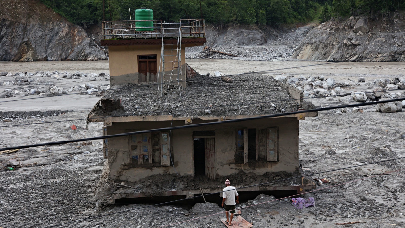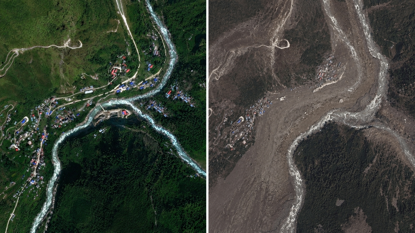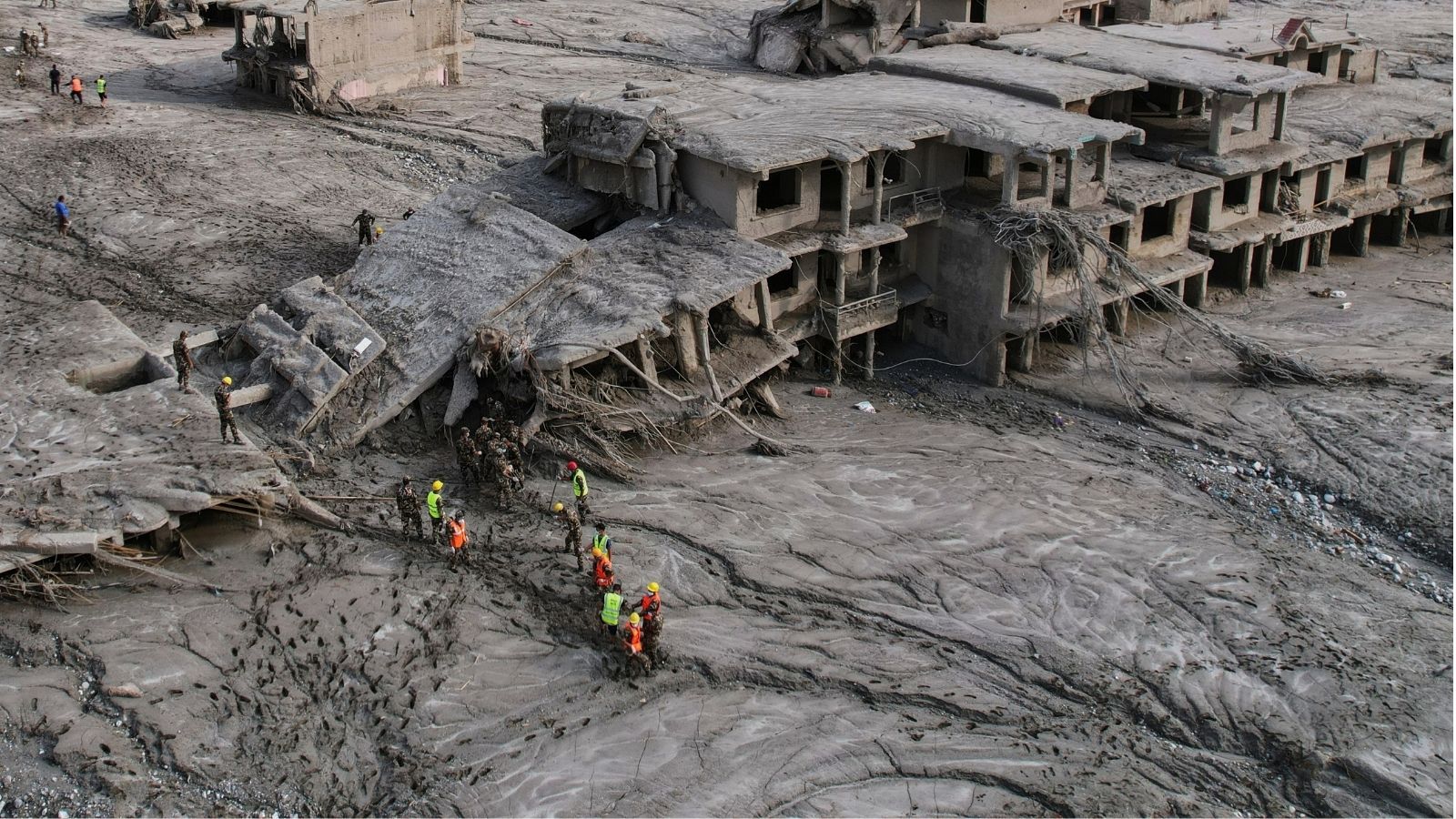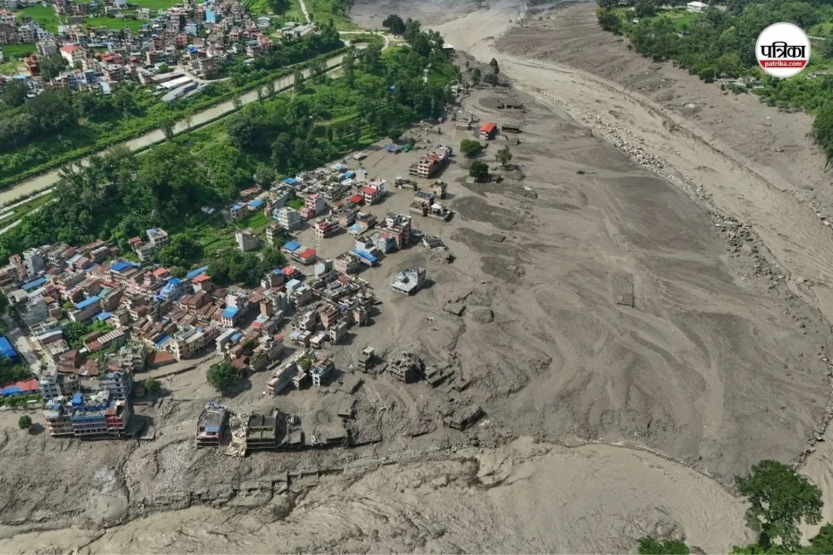
Catastrophic hydrological events in high-altitude mountain environments operate on strict physical variables: gravitational potential energy, volumetric displacement, and channel confinement. When an ice and rock collapse occurs in the Himalayan border region near Tibet, it does not merely introduce water into a system; it transforms a river corridor into a high-density debris flow. The flash floods that struck the Bhotekoshi and Trishuli river basins in central Nepal, resulting in 669 confirmed fatalities and over 2,400 missing individuals, demonstrate the limits of standard disaster response when kinetic energy outpaces early warning thresholds.
Analyzing the mechanics of this disaster requires examining the systemic failures inherent in high-gradient river corridors. Traditional journalism reports the human cost through casualty counts and rescue sorties, but operational strategy demands an evaluation of the structural vectors that turn natural hazards into systemic collapses.
The Hydraulic Mechanics of High-Altitude Debris Flows
The kinetic profile of a glacial or rock-ice avalanche combined with river channels dictates a specific type of destructive output. Unlike a standard meteorological flood driven by sustained rainfall accumulation, a barrier breach or mass movement surge creates an instantaneous volumetric spike.
When millions of tons of mud, ice, and rock displace a restricted channel like the Bhotekoshi River, the fluid density increases exponentially. Water transitions from a Newtonian fluid to a non-Newtonian debris flow capable of transporting boulders weighing dozens of tons at high velocities. This density shift explains why structures engineered to withstand high-water discharge fail instantly under impact loads.
The topographical confinement of the Rasuwa district magnifies this effect. Steep valley walls prevent lateral dissipation of energy. Instead, the surge functions as a piston, channeling downward with concentrated destructive momentum. Settlements situated on historical alluvial fans—flat deposits of sediment built up by streams—are prime targets. These areas appear stable during dry cycles but represent the exact paths carved by historical debris flows.
Vulnerability Matrices in Decentralized Hydropower Corridors
Economic development in high-risk zones introduces complex infrastructure vulnerabilities. The rapid expansion of run-of-the-river hydroelectric projects along Himalayan corridors places high-value assets and dense concentrations of labor directly inside active flood paths.
The geography of hydropower engineering relies on subterranean tunnels, diversion dams, and narrow gorges. When a flash flood strikes, these components create severe operational bottlenecks:
- Subsurface entrapment: Tunnels and maintenance galleries act as traps when water levels rise faster than evacuation protocols allow, leaving workers isolated behind blocked portals.
- Structural obstruction: Dams and weir structures interrupt the natural transit of sediment, causing sudden local pooling followed by catastrophic structural breaching when load limits are exceeded.
- Logistical isolation: Access roads cut into steep riverbanks are the first infrastructure elements destroyed, severing the supply lines required for heavy equipment deployment.
The inclusion of over 900 hydropower workers on missing persons lists highlights a systemic failure in industrial risk management. Standard evacuation triggers rely on meteorological forecasts or upstream water gauge telemetry. In events triggered by localized sub-glacial or rock-ice failures, the time delta between initial detachment and impact at downstream infrastructure can be measured in minutes, rendering traditional warning-response loops obsolete.
The Logistics Function of Search and Rescue Operations
Rescue operations in post-disaster environments governed by severe terrain constraints face distinct logistical boundaries. When bridges collapse and valley floors are buried under several feet of slurry, mobility drops to zero.
Deploying over 15,000 security personnel and utilizing rotary-wing aircraft represents the correct tactical pivot, yet aerial evacuation is bound by physical flight constraints. Mountain flying is heavily restricted by micro-meteorology, cloud cover, and narrow canyon walls. Helicopters cannot operate effectively during active thunderstorms or heavy precipitation, creating temporary windows where stranded populations remain unreachable.
The geographic distribution of recoveries—ranging from initial impact zones in Rasuwa down to downstream districts like Chitwan and Nawalparasi East—demonstrates the vast longitudinal spread of the hydraulic transport system. Victims and debris are distributed across political boundaries, complicating identification protocols and forensic coordination.
Addressing future vulnerabilities in high-risk Himalayan corridors requires shifting from reactive rescue logistics to preventative spatial planning. Infrastructure placement must account for maximum credible debris-flow events rather than historical flood marks. Integrating seismic sensors tuned to mass-movement frequencies, rather than relying solely on stream gauges, offers a method to capture the initial milliseconds of an upstream collapse and buy critical seconds for automated shutdown and evacuation protocols.