Google Maps has officially updated its interface to display Lake Ontario as “Lake America” for users located within the United States. This alteration directly follows a presidential executive order and subsequent updates to the U.S. Geographic Names Information System (GNIS), arriving on the heels of mounting trade disputes and tariff exchanges between Washington and Ottawa. Canadian officials, led by Prime Minister Mark Carney, have forcefully defended the four-century-old Indigenous title, pointing out that the term originates from the Wendat word Ontari'io, meaning the lake is big and beautiful. Yet, Silicon Valley corporate policy dictates a pragmatic surrender to domestic governmental databases, highlighting how digital geography is increasingly splintered by national borders and political pressure.
The immediate technical mechanics of this change reveal a quiet compliance engine running behind the screens of billions of devices. Alphabet Inc. relies on localized administrative registries to dictate place names. When the federal database changes, the algorithm follows. This is not an isolated incident. Silicon Valley tech giants deployed identical regional filtering in early 2025 when the Gulf of Mexico was re-labeled the Gulf of America on domestic screens following a similar executive directive. In related updates, we also covered: The Architecture of Orbital Defense Sensing A Quantitative Assessment of Space Force Prototyping.
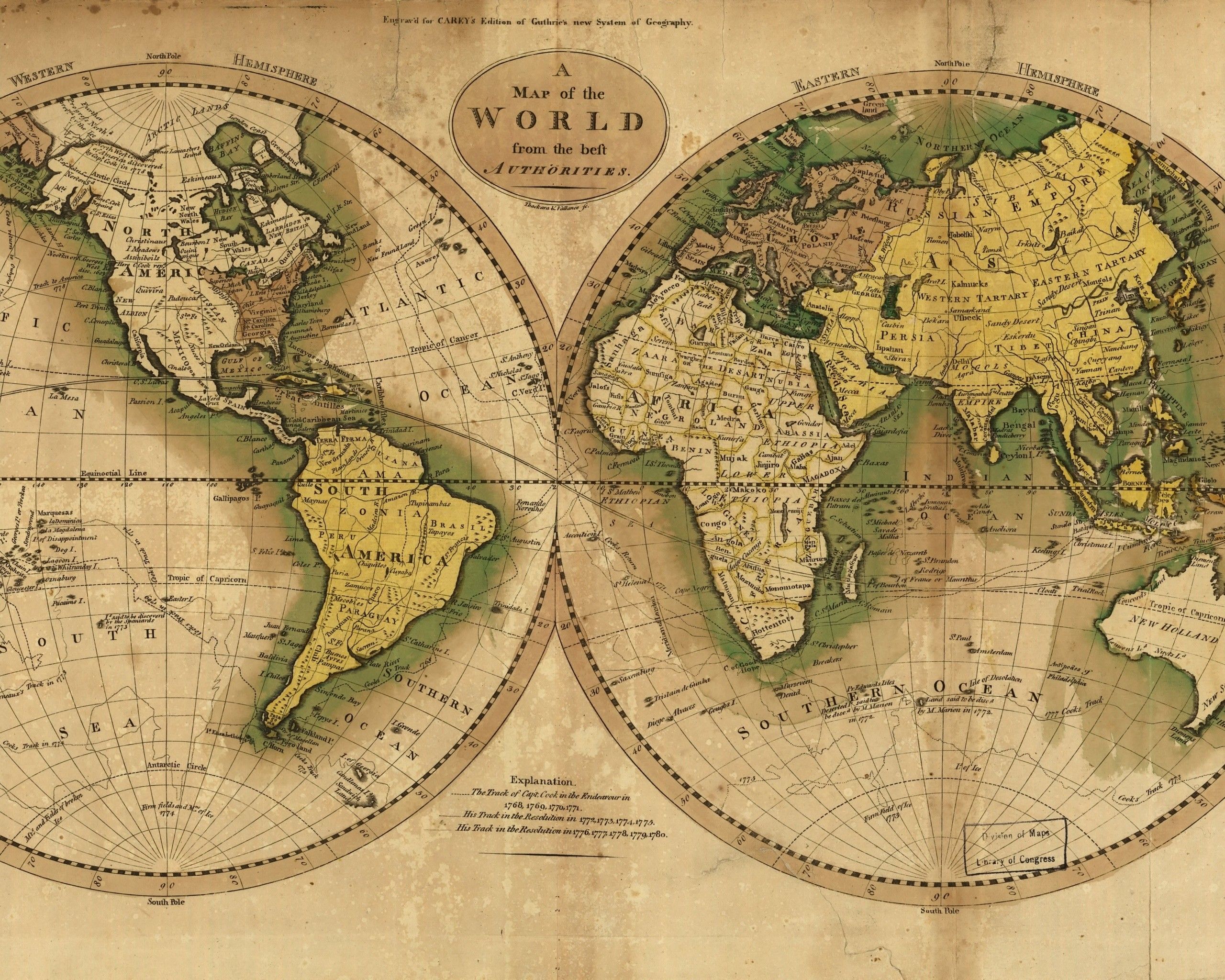
Maps are never neutral documents. They have always been drawn by the victors, the state-makers, and those holding the administrative pen. But the transition from ink-and-paper cartography to algorithmic mapping introduces a volatile new layer of corporate compliance. When a private corporation alters a physical landmark's name based on political winds, geography stops being a reflection of shared reality and becomes a customizable user interface.
The fracture lines quickly spread beyond domestic borders. Over the weekend following the rollout, several Canadian government websites and provincial agency maps briefly displayed “Lake America” to local users. Panic ensued across municipal IT departments. Officials scrambled to fix outages and transit portals, discovering that their third-party infrastructure relied heavily on embedded Google map data. TechCrunch has analyzed this critical issue in extensive detail.
Google quickly explained that website developers embedding maps can lock their display parameters to specific regions. If an Ontario transit agency fails to set its region to Canada in the API settings, its constituents suddenly view foreign political designations on local public infrastructure. A dropdown menu choice in California dictates what a commuter sees on a screen in Toronto. This technical reality exposes a dangerous vulnerability in public sector digital infrastructure. Municipalities have outsourced the fundamental representation of their own territory to a handful of Mountain View algorithms.
Not every digital cartographer fell in line. Competitor services like MapQuest publicly announced they would refuse the geopolitical rebrand, even releasing custom name generators allowing users to rename the body of water to whatever they pleased. Apple Maps navigated a similar tightrope, adopting the revision for U.S. users shortly after Google's deployment.
This divergence shatters the illusion of a single, objective global map. We now live in an era of geofenced reality. A user in New York stares at Lake America. A user in Montreal views Lake Ontario. A user in Berlin or Tokyo sees a hyphenated compromise. The globe has been sliced into localized versions of truth, curated dynamically to satisfy whatever domestic authority holds sway over the user's IP address.
Corporate compliance departments defend these moves using the language of administrative neutrality. They argue that updating local names to match official government databases prevents confusion between digital tools and legal documentation. If a search query relies on a federal designation, the mapping software must align to ensure functional utility.
This defense rings hollow when examined against historical precedent. Tech corporations routinely challenge, negotiate, or ignore state demands when it impacts their bottom line or user growth. When compliance aligns with political expediency, the corporate machinery moves with astonishing speed.
The broader implications extend far beyond a single body of water on the border of New York and Ontario. As economic nationalism surges and bilateral trade frameworks fracture, digital maps are transforming into diplomatic battlegrounds. Silicon Valley has positioned itself as a willing scribe for whichever administration dictates the local database schema.
When borders can be redrawn via executive decree and instantly deployed to two billion pocket screens, physical reality loses its anchor. The map no longer mirrors the territory. The map bends to the state, and the algorithm ensures you see what your government wants you to see.