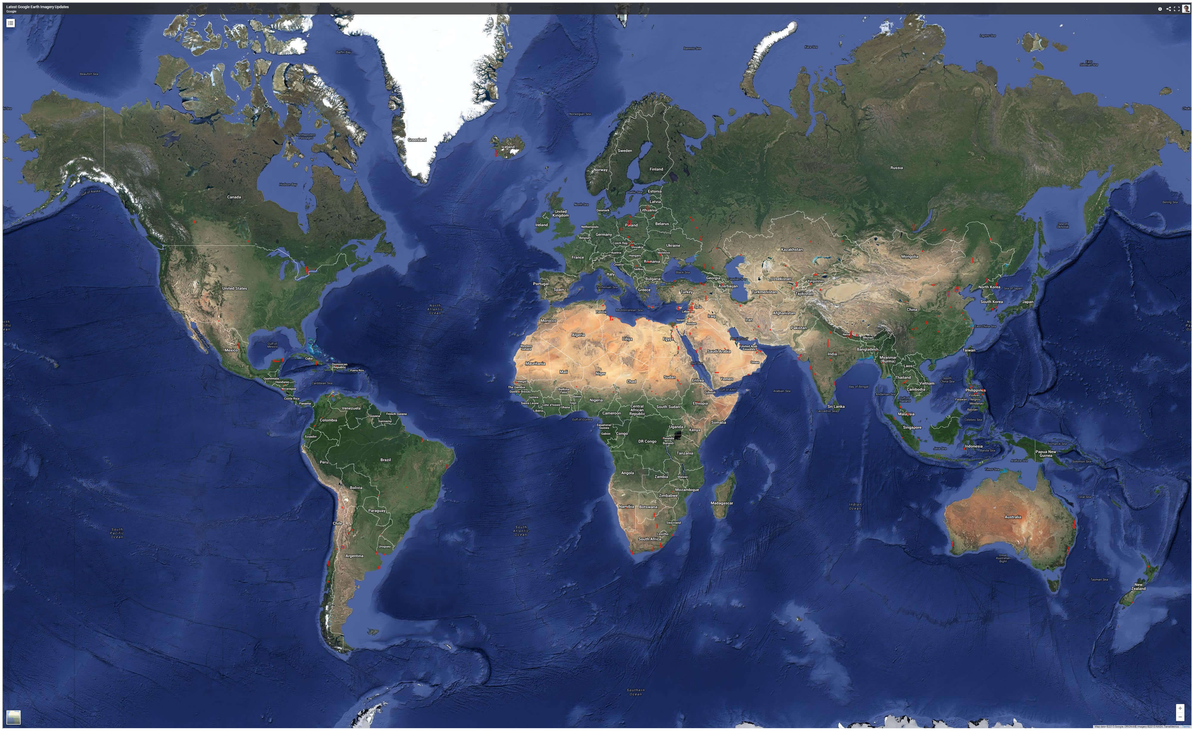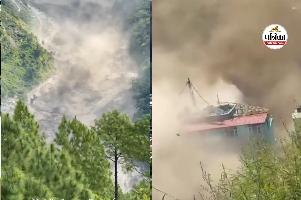
High-altitude hydrology functions on fine margins between stability and catastrophic failure. When a transboundary river system experiences a sudden hydraulic surge across international lines, the resulting disaster exposes structural vulnerabilities in infrastructure, cross-border communication protocols, and early warning architectures. The flash flood event along the Nepal-Tibet border at the Bhote Koshi and Lende river corridors illustrates how localized geological disruptions cascade into multi-district devastation downstream. Analyzing this event requires stripping away anecdotal panic to examine the precise mechanical drivers, propagation dynamics, and institutional failures that turn natural hazards into systemic catastrophes.
The Upstream Mechanics of Glacier and Landslide Disasters
Catastrophic hydrological events originating in high-relief mountain systems rarely stem from local rainfall alone. In the case of the northern Rasuwa and Tibet border interface, meteorological records confirmed negligible local precipitation during the twenty-four hours preceding the surge. The primary driver resides in upstream mass-wasting events within the Tibetan autonomous region, specifically near the Gyirong port area.
The sequence operates through a distinct mechanical chain:
- Mass Detachment: An ice-rock avalanche or slope failure deposits massive volumes of debris into narrow river gorges.
- Temporary Impoundment: The debris forms an unstable natural dam across the upper stream channel, creating an ephemeral barrier lake behind it.
- Hydraulic Failure: As water pools and hydrostatic pressure surpasses the shear strength of the debris dam, catastrophic breach occurs.
- The Surge Wave: A wall of water, mud, and kinetic debris travels down steep gradients, picking up velocity and destructive mass while scouring riverbanks.
This mechanism bypasses standard meteorological forecasting models because rain gauges register dry conditions while an artificial reservoir is quietly forming and failing miles upstream.
Cross-Border Information Latency and Communication Asymmetry
Transboundary river basins require real-time telemetry sharing to protect downstream populations. When water security depends on upstream geography, information becomes the most critical asset for loss mitigation. The disaster exposed a dangerous latency in transboundary data transmission.
Geographic and administrative realities dictate the propagation of risk:
- Time Zones and Early Detection: The physical event registered in high-altitude Chinese territory minutes before hitting downstream Nepali border settlements like Timure and Syaphrubesi.
- Institutional Drag: Delays in official cross-border communication protocols created a critical window where human evacuation was impossible.
- The Cost of Siloed Monitoring: Without an integrated, automated telemetry grid shared between hydrometeorological agencies in Beijing and Kathmandu, downstream authorities rely on reactive visual confirmation rather than predictive sensor alerts.
When the warning system depends on bureaucratic handshakes rather than automated, hard-wired sensor triggers, communities bear the cost of administrative inertia.
Infrastructure Vulnerability Indices in High-Gradient Valleys
Economic concentration along narrow Himalayan river corridors creates extreme asset vulnerability. Hydropower assets, transit links, and commercial hubs like dry ports are placed in high-risk zones due to topographical constraints. Valley floors offer the only flat terrain for roads and industrial projects, but they sit directly inside active flood paths.
The physical impact follows a predictable destructive gradient. Concrete bridges designed for standard peak flows experience structural shear under hyper-concentrated debris loads mixed with boulders. Hydropower facilities situated on the Trishuli and Bhote Koshi systems suffer turbine abrasion, intake siltation, and direct structural obliteration when the sediment load exceeds design thresholds by orders of magnitude. Road networks carved into unstable canyon walls are sheared away, isolating entire districts and stranding domestic populations and foreign travelers.
Systemic Resilience Deficits and Mitigation Imperatives
Mitigating high-altitude flash floods requires a fundamental shift from post-disaster humanitarian response to pre-emptive spatial planning. Traditional engineering approaches relying on heavy concrete river training walls frequently fail when faced with the sheer kinetic energy of glacier lake outburst floods or debris-flow surges.
Future exposure reduction depends on enforcing strict setback zones that prohibit permanent high-density commercial or residential settlement within historical maximum-scour lines. Engineering standards for cross-border infrastructure must incorporate dynamic load ratings that account for multi-hazard cascading triggers, such as concurrent seismic activity and mass wasting. Furthermore, bilateral frameworks must mandate open-source hydro-sensor data feeds operating independently of diplomatic friction, ensuring that automated sirens activate downstream the moment an upstream flow anomaly is detected.
Deploy automated acoustic and pressure sensors along upper Tibetan river catchments linked via satellite telemetry to direct, automated downstream siren arrays in Nepalese valley settlements before any diplomatic notification loop can stall the warning.