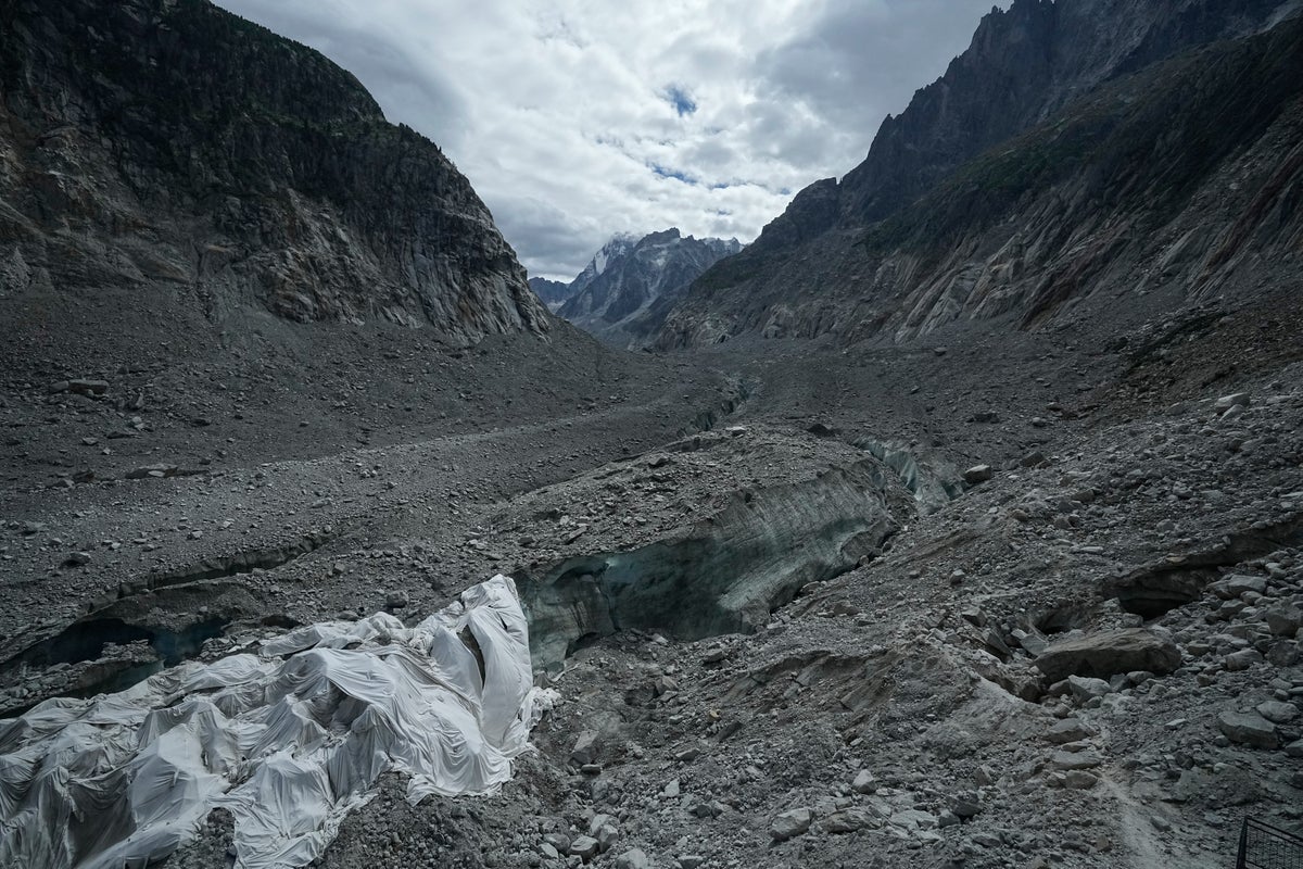
High-altitude mountain systems are undergoing accelerated cryospheric degradation, shifting regional geomorphology and increasing the frequency of catastrophic mass-wasting events. The catastrophic flash flood along the Nepal-Tibet border, caused by a vertical collapse of glacier ice and rock from an elevation exceeding 5,000 meters, illustrates the destructive mechanics of destabilized mountain infrastructure. This event is not an isolated geographic anomaly. It represents a systemic hazard profile that is currently manifesting across fragile high-mountain ranges globally, including the European Alps.
The physical mechanics governing high-altitude structural failures rely on thermal anomalies and the loss of natural structural bonding agents. Permafrost acts as the primary thermal cement holding steep rock faces and hanging glaciers in place. When sustained high-temperature anomalies penetrate rock fissures, this interstitial ice thaws. The shear strength of the slope degrades rapidly, transforming stable mass into unstable debris configurations.
In the Mont Blanc massif, researchers have documented a sharp escalation in rock falls and structural failures. Thermal stress changes precipitation phases at high altitudes, shifting historical snowfall patterns into liquid rain. This water infiltrates rock joints, generating hydrostatic pressure wedges that accelerate structural detachment. Annual tallies of major rock collapses—defined as volumes exceeding 100 cubic meters—are tracking at multiples of historical baselines, mirroring the destabilization seen in Asian mountain ranges.
High-mountain hydrology responds immediately to these thermodynamic shifts. When a massive volume of ice and rock detaches, it converts potential energy into kinetic energy during descent, instantly pulverizing material into a hyper-concentrated debris flow. Upon striking valley river systems, this slurry bulks up by incorporating riverbed sediments, resulting in an engineered wave of water, mud, and boulders. Water levels in constricted river gorges can rise by several meters in minutes, bypassing conventional early-warning sensor thresholds designed for standard meteorological flood events.
Infrastructure vulnerability in these environments stems from legacy zoning assumptions. Human settlements, transport corridors, and hydropower facilities have historically been sited on alluvial fans and valley bottoms, assuming hydrological stationarity. Cryospheric destabilization violates this assumption. Traditional hazard mapping fails to account for the velocity and momentum of high-altitude mass flows, rendering standard structural defenses such as small check-dams or low-height retaining walls structurally inadequate.
Risk mitigation in high-altitude zones requires an operational pivot from reactive disaster management to proactive structural abandonment and remote monitoring. Regional authorities must implement continuous seismic and acoustic monitoring of hanging glaciers and unstable rock faces to detect micro-fracturing prior to catastrophic failure. Land-use planning must incorporate mandatory setback zones along high-gradient river corridors, treating runout paths of potential glacial and permafrost collapses with the same spatial restriction applied to active volcanic hazard zones.
How a Glacier Collapse Triggered Nepal's Deadly Flash Flood
This video provides a detailed visual breakdown of how the Himalayan glacier collapse occurred and the exact mechanics of the debris flow that impacted the Nepal-Tibet border region.